
Fresh Orthophotos
Detailed imagery of the Earth’s surface can be hard to come by — Publicly available imagery is updated infrequently and may be lower resolution than is needed. Additionally, contracting with manned aircraft can be prohibitively expensive.

The value of High Resolution basemaps
Aerial imagery with enough detail to effectively communicate plans between developers, engineers and city staff is a valuable tool for projects of all sizes. Not only is the picture more clear, but features can also drawn in directly from the basemap. High resolution basemaps go a long way to ensure your project gets done right.
Contact me for a free quote on your project.

Othophotos can become beautiful georeferenced products which can help communicate your plans to a wide audience:
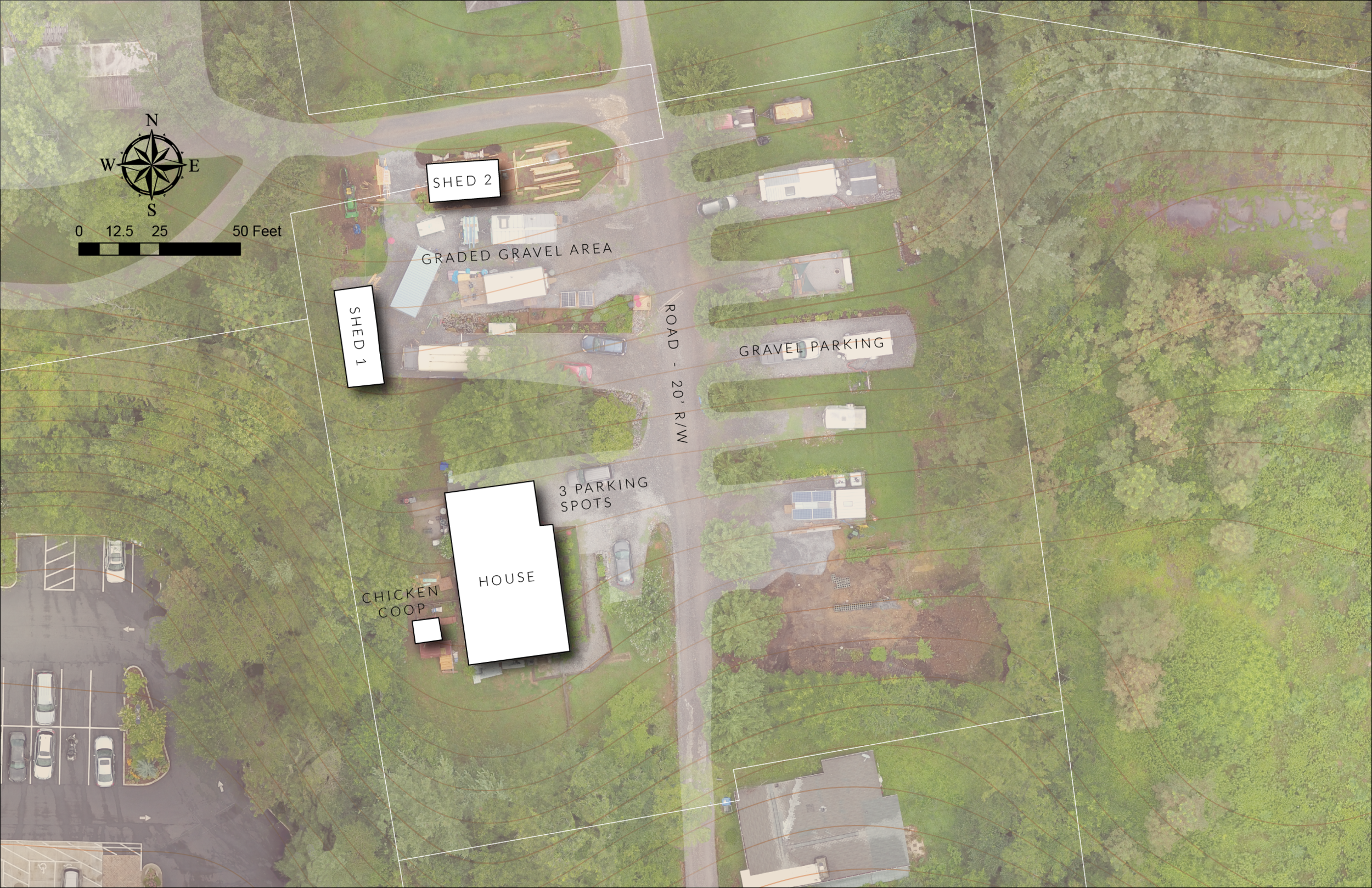
Unmanned Aerial Systems can capture ultra-high quality orthophotos which can be utilized for as-built reference maps or small area plans. In some cases the acquisition flight for these products can be flown one day, and the resulting product can be available within 24 hours. Monumentation on the property can be used to tie the imagery to an existing coordinate system established by a certified surveyor.